Coursework
Summer Courses
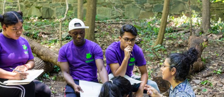
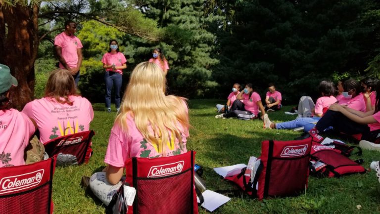
Wave Hill offers 3 college courses to Forest Project and Woodland Ecology Research Mentorship interns. Each course is taught by Wave Hill staff during the summer and is accredited by the University of Mount Saint Vincent. All interns participate in Restoration of New York City’s Natural Areas, while only WERM interns participate in Mapping New York City’s Urban Environment—An Introduction to GIS and Research Methods. Each course is worth full, transferable college credit. Please see below for a breakdown of course content and timing.
Restoration of New York City’s Natural Areas
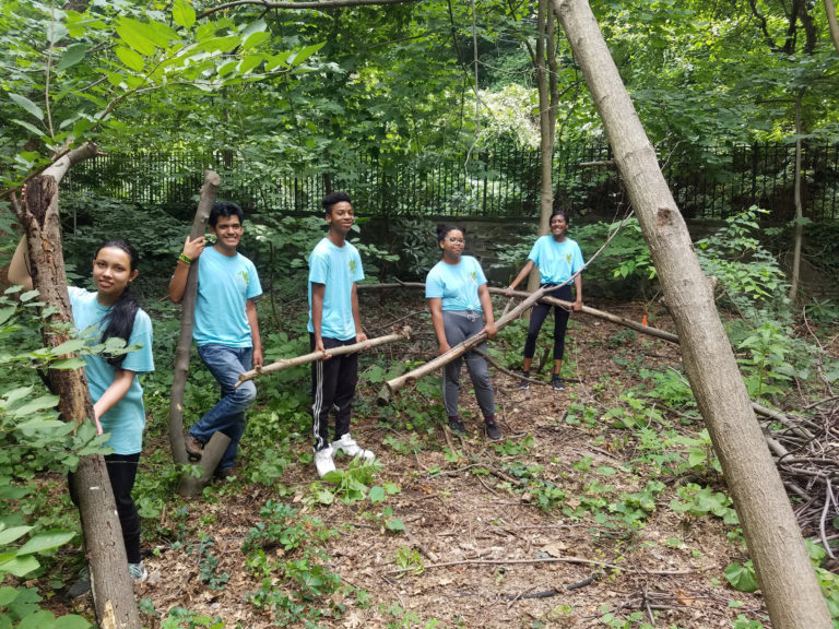
Urban ecology is the study of the natural world and its intersection with the urban environment. While New York City is known for its sprawl and concrete, the city has over 20,000 acres of natural areas! Beyond offering recreation for communities, New York City’s urban forests deliver a number of benefits including air filtration, storm water control and animal habitats. This course introduces these concepts, and deepens students’ understanding of ecological restoration efforts in New York City and the ways in which the history of New York’s ecology informs its present state.
What to expect from Restoration of New York City's Natural Areas:
Using methods developed by local scientists and staff from the Natural Areas Conservancy and the U.S. Forest Service, students collect their own data in Wave Hill’s woodland. Students learn to analyze their data and present their findings, drawing on topics learned throughout the course including forest ecology, basic botany, soil science, geology of New York City’s natural areas, the history of NYC's natural areas, invasive species, and case studies and current research. For the final project, students analyze how these topics pertain to their woodland site, and develop data-based restoration plans.
From this ecological restoration class, I have indubitably obtained numerous insights into urban ecosystems and the significance of protecting natural areas.
Mapping New York City's Urban Environment: An Intro to GIS
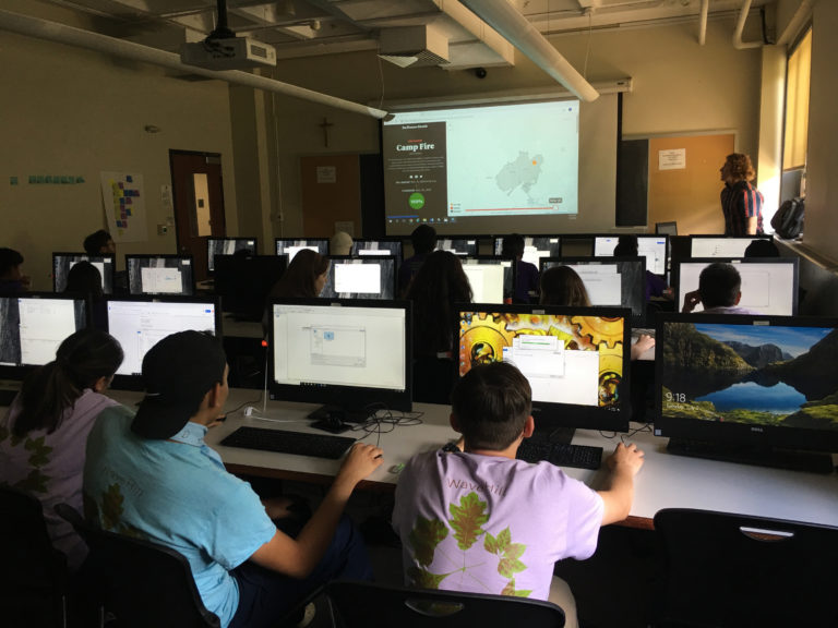
Every New Yorker is familiar with the subway map, but do you know how it was created? The answer is GIS! Geographic information systems (GIS) is a powerful software used to create maps that model the world around us. Nearly every environmental organization uses GIS to analyze real-world features and solve complex problems that involve soils, wetlands, climate and land use. With GIS, we can answer questions like, “Is there a correlation between open areas and invasive plants?” or “Where is the best place to build a trail?” In ecological restoration, GIS plays a crucial role providing the answers to important questions.
What to expect from Mapping New York City's Urban Environment:
Each class, students will complete a lab assignment based on real-world GIS applications, like modelling erosion or making a trail map. Students spend time outdoors collecting data on trees, plants, soils and invertebrates. They then digitize their findings, and use GIS to make scientific connections and model future scenarios. The course culminates with students completing a final project where they collect new data and create a map of Wave Hill's woodland. Past projects include mapping the edible plants along woodland trails, suitable locations to add mulch piles, and where to plant new oak trees.
What I enjoyed most in the GIS course was learning another way to interpret data. I had not known about GIS before this program and I think it could be used in future cases with school work as well.
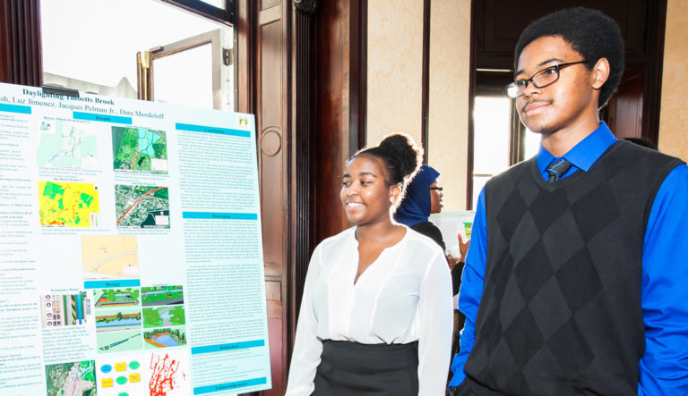
Introduction to Science Research
This course introduces students to the nature of science and the basics needed to undertake scientific research. Through group discussions, projects and readings, students hone their skills to be able to collect, interpret, analyze and present scientific data effectively. Students learn the essential components for designing and developing a successful scientific research project, how to utilize scientific articles as a guide for research, and to properly cite sources in an annotated bibliography. Using the proper scientific and statistical methods, students select a topic to research and create a scientific poster to communicate their findings. The course culminates with students presenting their projects while explaining complex data verbally to their peers.